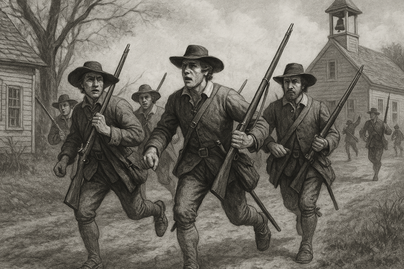
Are you able to respond to the call?
Introduction
I write these posts to encourage and inspire you to get out and learn new skills. I will remind you that I am just like you. I am learning what is required to be an effective community member. I'm married and have kids, but must balance work, family, church, and training opportunities.
I have made a specific effort to adjust my schedule and to incorporate training wherever I can. I encourage married men to break free from the concept that they never have time to train and that family should take up all their free time. Do not give up your responsibility to other men who must then shoulder a bigger burden of community defense because you made an excuse to neither train nor show up.
For the single men reading this article, find other guys and start training so that it's already part of your schedule before you marry. Then training is just a part of your life, and your future wife understands this.
Every male citizen aged 16 or older should be trained and be able to participate in community defense activities. This is the old way, the way it was long before the American Revolutionary War began.
Land Navigation Basics
Man has been given dominion over nature, and we should learn to navigate it without getting lost. From a partisan perspective, the ability to quietly navigate the bush and arrive at your target is an important skill that should not be left to technology.
A lot of preparedness training also targets your mental framework, which is on purpose. Land navigation is one of these skills that gives you the power over people who might not know how to navigate in the bush or mountains. It boosts your confidence and levels up your team.
Land Nav Tasks
Land navigation is calculated using metric, which is great because it is easier for me.
- Read the markings and the legend of a map.
- Calculate basic land nav math using the map.
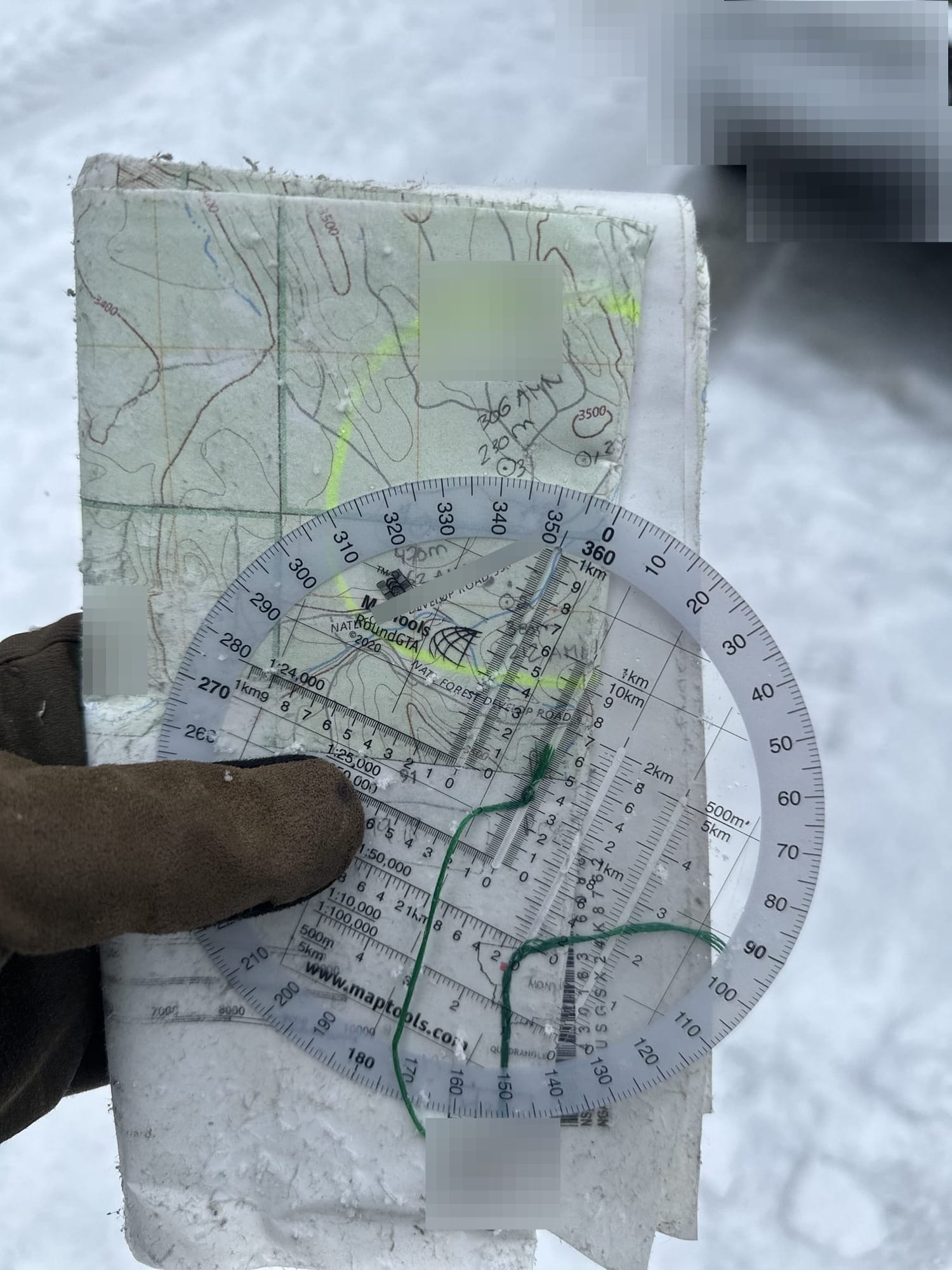
- Use a protractor and figure out points on a map.
- Map out distances on a map between points.
- Correctly figure out the direction (so you can use a compass) of each of your points on the map.
- Identify how many paces you walk in 100 meters. You will need to remember this pace count and apply it to the distance of each point on a map.
- Constantly check your bearing/direction because if you start to drift you will miss your point on the map.
Weather
• Wear a thin waterproof shell that doesn't make noise when you walk.
• Wear snowshoes, or at least bring them with you.
• Don't use water-resistant maps; use laminated maps.
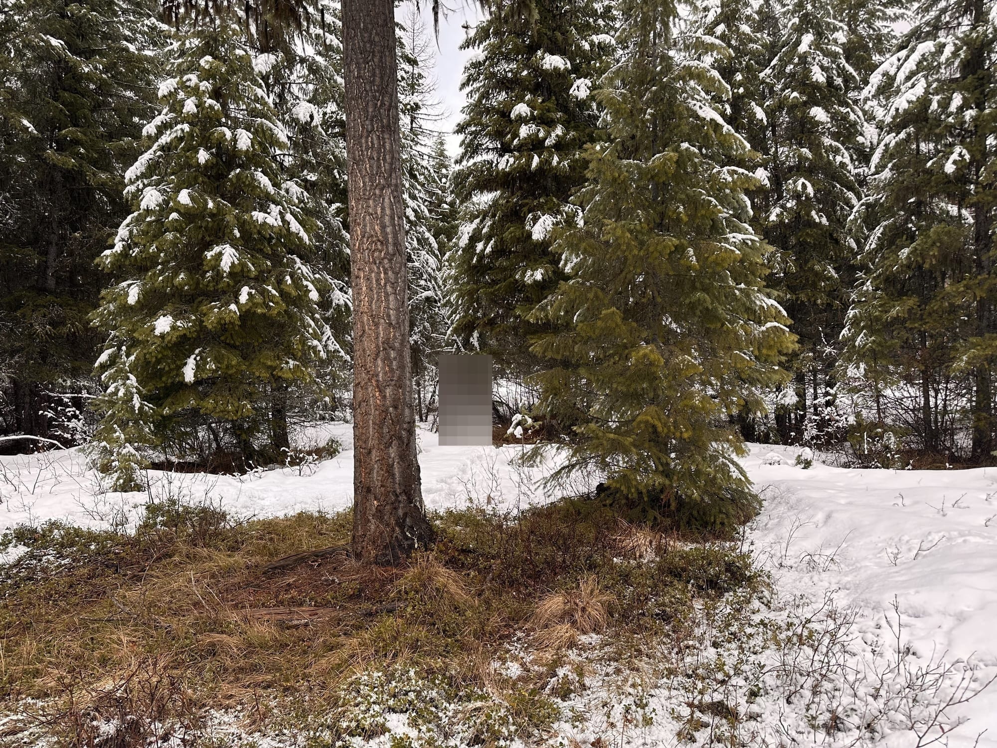
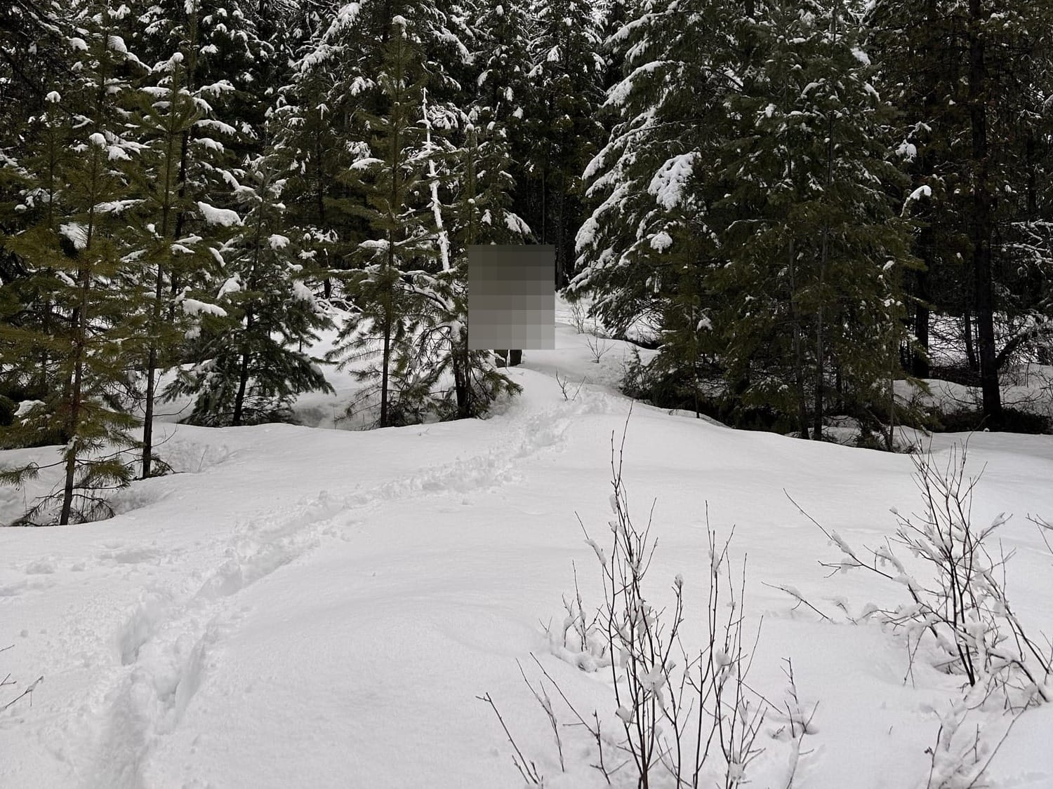
It had snowed all night, and as I did my land nav, I was greeted with snow flurries and rain. It wasn't particularly cold, but the snow and rain that soaked all my gear.
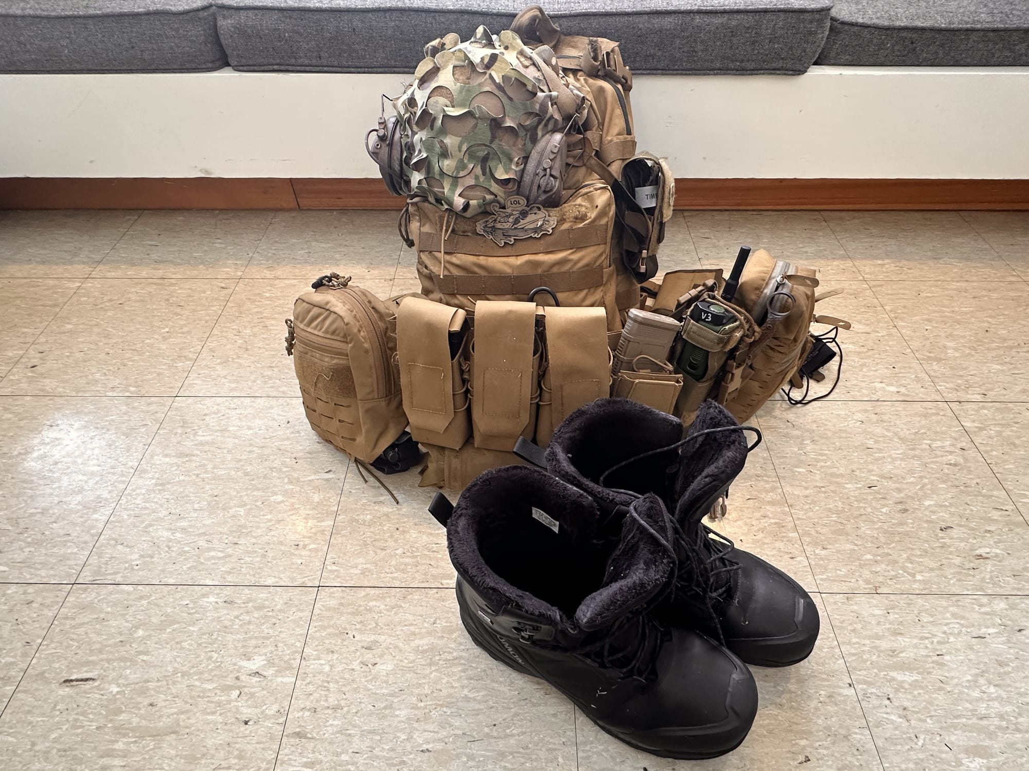
Landnav Equipment
• Buy a compass that has solid reviews. Do not cheap out on this item.
• Tie off your compass to one of your pouches so you don't lose it.
• Try to store your pencils/markers on your hoodie/long-sleeved shirt.
• Laminate your maps so that they don't get destroyed by the elements.
• Bring Ranger beads to help keep track of your paces. I messed up my pace counts.
The MapTools store should be your first stop for land nav products.
The equipment required to conduct land navigation is straightforward. You need the following:
- Ink Pen, 0.25-mm, Black ($6.67)
- Cammenga Compass ($109.99)
- Protractor ($9.95)
- Map of the area (1:24,000,000)
- Ranger Beads ($8.99)
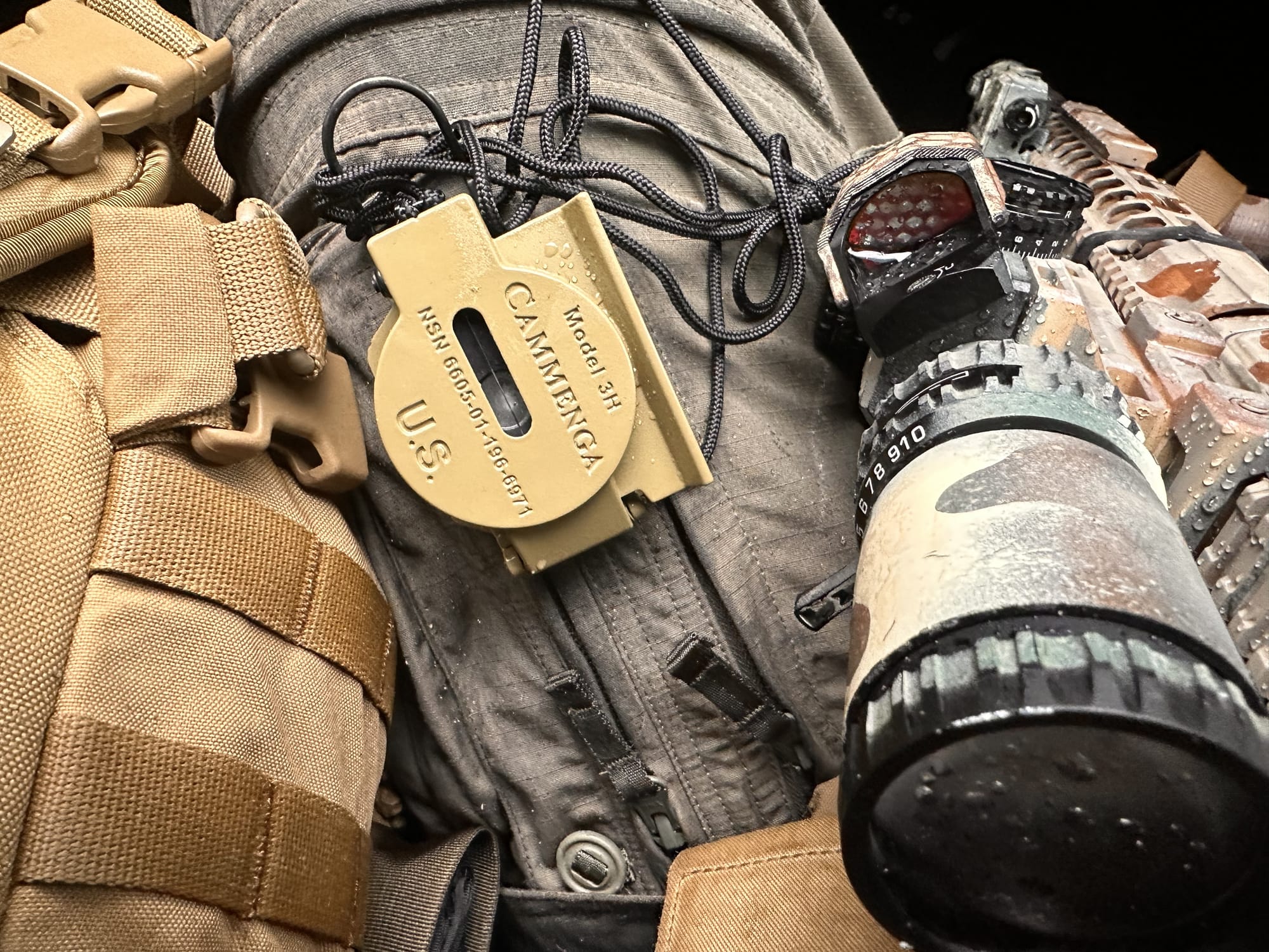
Cammenga Compass
The Cammenga compass is the official compass of the U.S. military. It does exactly what you expect from a compass. It's durable, and the illuminations supposedly last 10 or more years. This is a no-brainer purchase.
Map & Protractor
The protractor was purchased at the MapTool website (See the link above). I want to use a laminated map next time, because my water-resistant map started to get destroyed during that morning outside.
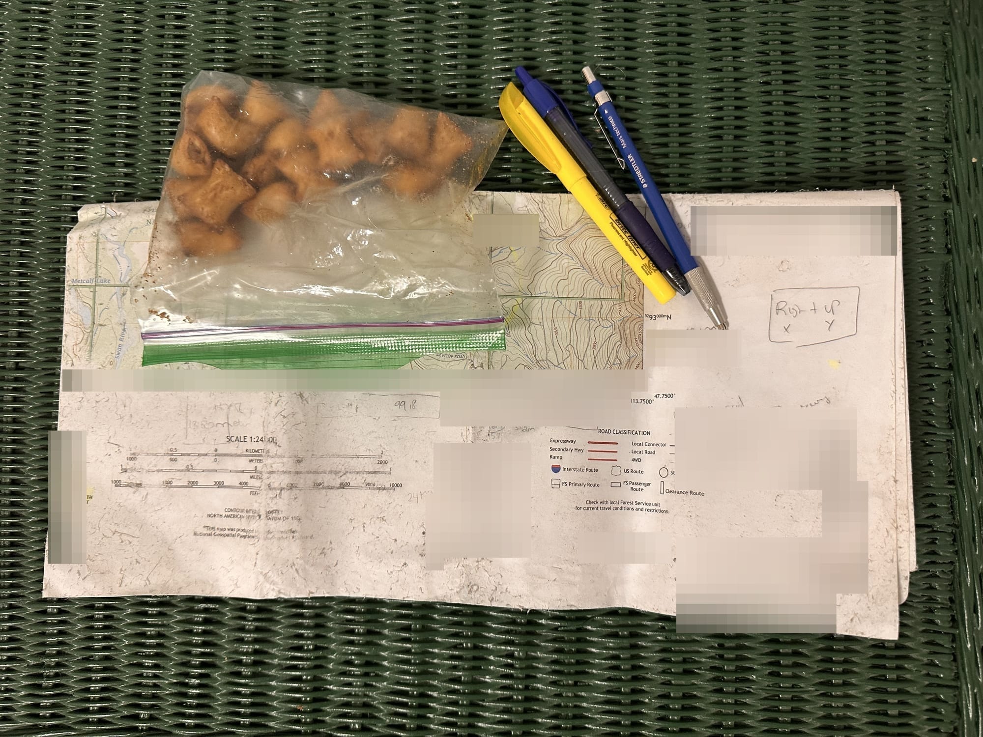
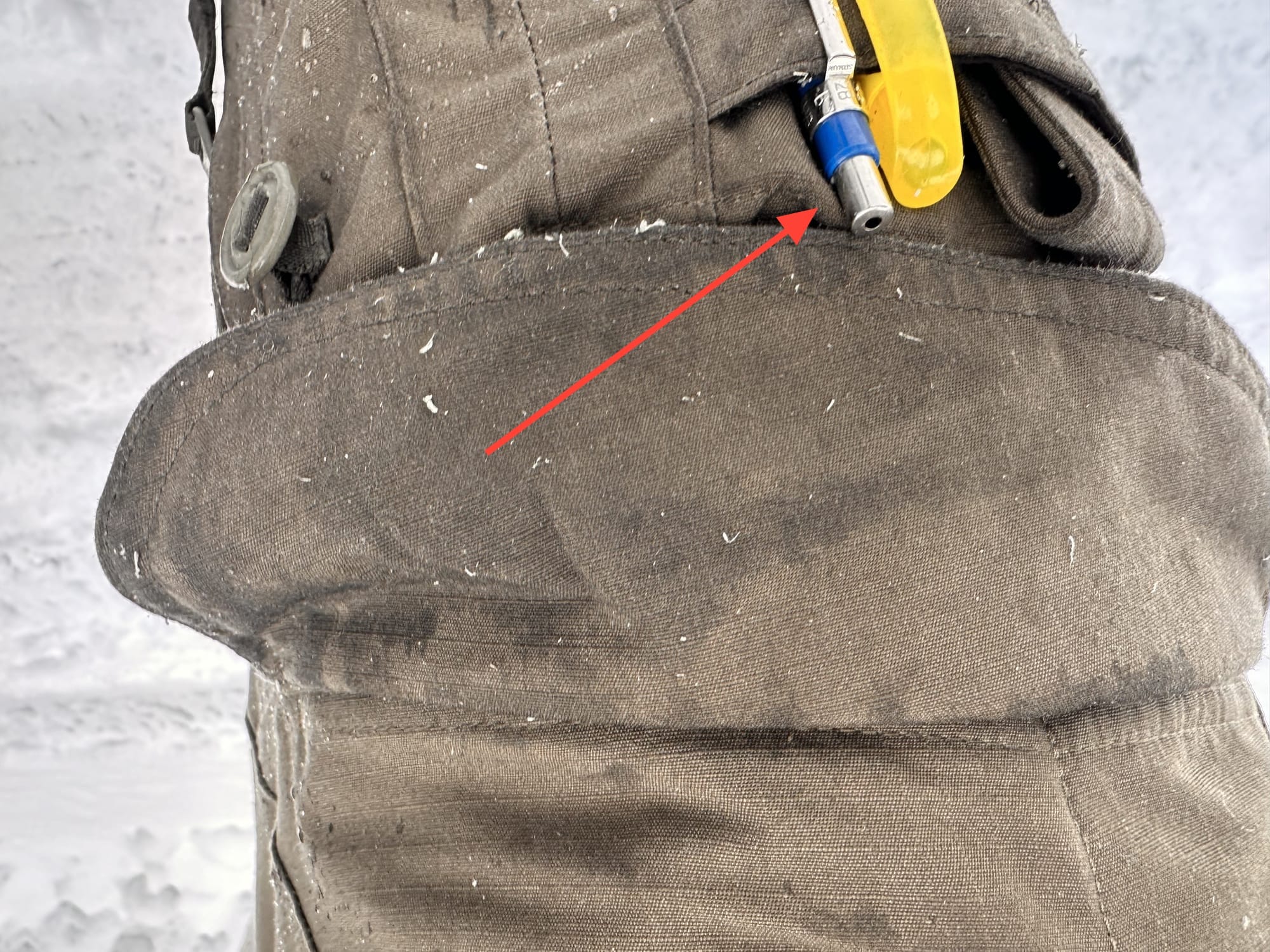
It's not a surprise that I lost my mechanical pencil somewhere in the woods. The rule is, everything that is not attached or in your pockets will be lost somewhere in the bush.
I will bring different pens next time.
Boots and Clothing
• I recommend Crispi or Solomon boots for the winter season.
• Wear gaiters, keep your boots and pants dry when hiking through snow.
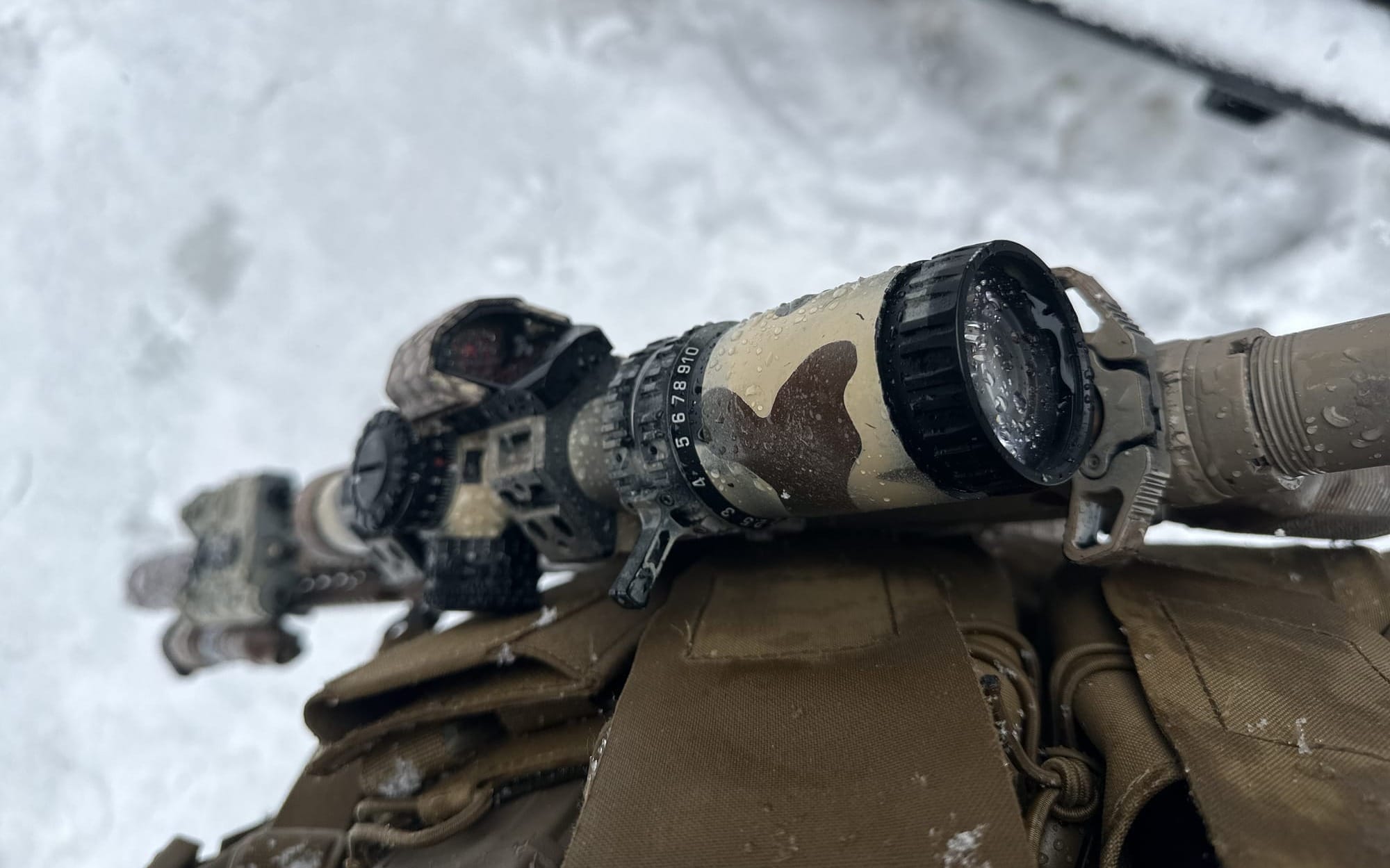
• Ice and water build up around your optics; keep them clean.
Winter Boots
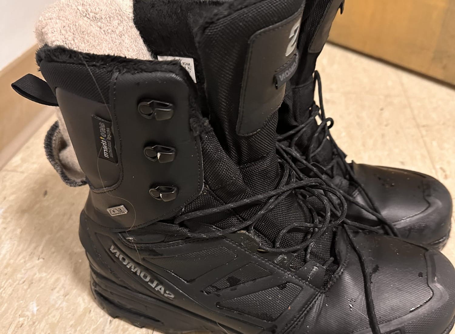
During this land nav exercise, I wore my Solomon winter boots (Toundra Pro Climasalomon Waterproof) priced at a (reasonable) $200. I wanted winter boots that were lighter than the Crispi boots that I usually wear. The Solomon boots did the job and kept my feet warm and dry.
But if you are serious about winter boots and want robust, durable boots, I recommend you shell out $510 for a pair of Crispi Insulated Hunter Boots. I will say this: the downside is the weight of each boot, which is 2.3 lbs per boot.
I know the price is outrageous, but once you own a pair of these boots, your feet will never bother you again when you are out in the bush during the harshest winter season.
Pants
I wear All-Terrain Gen 2 tactical pants from UF Pro These pants are durable and very good value for your money. The bush will chew up cheap clothing, and you want pants that will survive the mountains and bush.
I stored my pens, markers in my pants, and eventually I lost my mechanical pencil. I recommend you store your pencils and markers somewhere on your upper body.
All the white stuff you see on my pants is the water-resistant map falling apart after I pull it out constantly to review. I need to find a different pouch for it, somewhere on my upper body.
Equipment
• Run a bump helmet in the bush to reduce your weight.
• Bring a magnifier to read small details on the map.
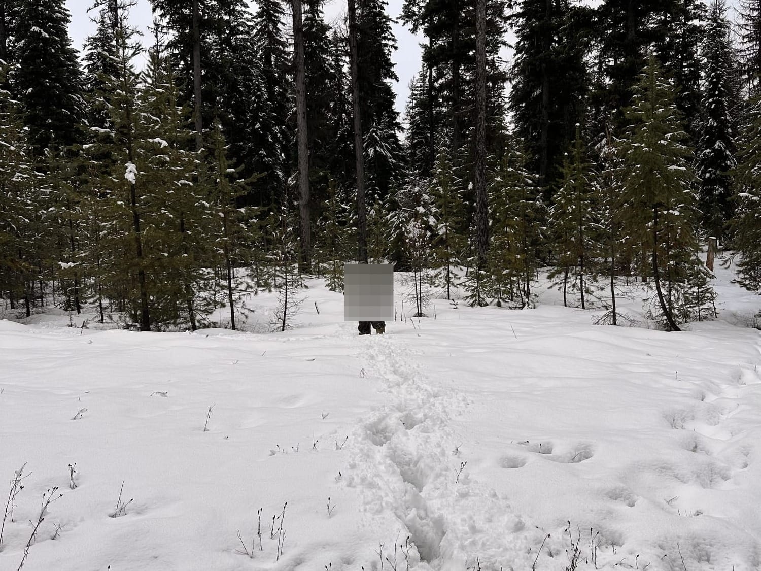
• The snow was deep, and snowshoes would have helped.
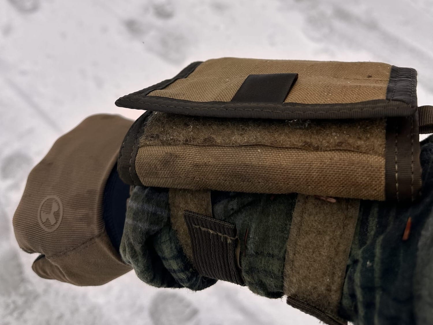
Map Pouch
I used the pouch on my pants to stuff my map into. I really didn't like that. I prefer a map pouch that sits right behind my chest rig, which runs the width of my chest rig. I think that would be more effective than using a pouch on my pants.
Arm Board
I like arm boards. I wanted to use mine during the landnav exercise, but I only opened it up several times. To my great disappointment, I was not able to use it that much,
I'm not sure whether that's because my arm board setup was not effective to begin with. Or maybe I need a different armboard that has a slightly different layout.
I know a lot of arm boards are geared towards a 3 x 5 rite in the rain index card size. But that doesn't translate to carrying a folded map, or a laminated map that is clearly much bigger than the 3 x 5 index card.
Maybe you guys can offer some insight here. What arm boards do you recommend that you have personally used in land nav scenarios?
Conclusion
Again, there is no substitute for getting outside and doing the thing. Every time I go outdoors and use my tools and gear, I learn something new that makes the next time better.
I encourage you to go outside and train. Be deliberate, call it what it is, it's training that helps you prepare for the bumpy future ahead. If you take the time to learn this stuff now, it will be easier to build on these skills and attend more complicated training courses.
Stay well, brother!
Stay Connected
- Video: Rumble and YouTube
- Social Media: X and Instagram.
- Podcast: https://fatherabraham.podbean.com/.
- Blog: www.fatherabraham.co.
- Online store: https://shop.fatherabraham.co/